뚜이호아: 고탑과 어촌 해안
Nhan Tower · Da Rang river · Tuy Hoa beach · Long Thuy
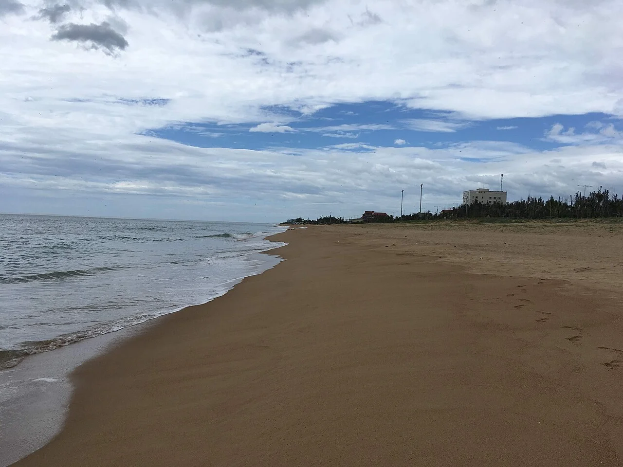
지역 또는 교통 참고 사진이며 약속된 방문지는 아닙니다. ©
Use the hilltop tower to understand the city before riding north along the coast. Small fishing stops and a beach lunch make this a gentle introduction to Phu Yen.
Two baskets of stone
Tuy Hòa sits on the largest coastal plain in the south-central region, and the plain has exactly two hills in it. The local story explains them: heaven sent a giant down to fill the swamp with stone so that people could live here, he loaded his carrying pole two or three times heavier than he should have to finish sooner, the pole snapped, and the two baskets he dropped became Núi Nhạn and Núi Chóp Chài. The first is small — about sixty metres high with a kilometre of ground around its foot — and it carries the Cham tower that the whole province uses as its emblem. It has been called Nhạn Tháp, Bảo Tháp, Tháp Dinh and, because of what used to live on it, Monkey Hill: there were swallows, herons and monkeys in thick scrub until about 1961, when the trees were cut down to build military posts and the animals left. From the top you see the old provincial centre, the flower gardens of Bình Ngọc, the mountain of Đá Bia to the south, the sea, and the road and rail bridges running side by side across the river.
Yang Kơ Hmeng
The tower on the hill is Cham, built by the people who lived in the delta of the Ba river around the twelfth century, and in Ê Đê and Jarai it is called Yang Kơ Hmeng. It is a square block of four storeys, each repeating the one below it at a smaller scale, about 23.5 metres tall on a base ten metres to a side. Time and war between them broke a great deal of it, and the provincial authorities restored it; what stands now follows the original. It was listed as a national architectural and artistic monument on 16 November 1988. The pair of hill and river — Núi Nhạn and sông Đà Rằng — is the image the province puts on everything, and the poems written about the view from up here go back at least a century. At the south-east foot of the hill there is a pagoda, Hàm Long, later renamed Kim Long, built against a sheer rock face with a cave beside it that was said to run through the hill to the river; silt and storms have closed the mouth.
The river of reeds
The Ba is the largest river of the central coast: 388 kilometres from its source in the Ngọc Rô range of north-western Kon Tum, at 1,549 metres, down through the highlands to the sea here, draining 13,900 square kilometres. Its lower course has a different name — Đà Rằng, a Vietnamese rendering of Ea Drăng, old Cham for the river of reeds. The bridge that carries Highway 1 over it at Tuy Hòa is 1,512 metres long, the longest in the old province. What the river really made is the rice: the plain around the town is watered by the Đồng Cam weir, thirty kilometres upstream, designed in 1917 by a French engineer named Lefevre with his colleague Nordey, begun in 1924 and finished in 1932. It is 688 metres long, has north and south canals, and irrigates 220 square kilometres of paddy. It also cost lives: on 1 September 1929, in the flood season, a boat carrying workers across the river capsized and fifty-two of them drowned. Their names are on a shared memorial on the hill above the works, and the district still holds a festival for them on the eighth day of the lunar new year.
The other basket
Núi Chóp Chài is the bigger of the two hills: 394 metres, ten kilometres around the foot, four kilometres north-west of the centre and right beside Highway 1. It is almost square in outline — people compare it to a pyramid, and from another angle to a turtle putting its head out, which is why it is also called Quy Sơn. The television transmitter for the province stands on top, which means there is a road up it, and from the summit the whole plain and the sea are laid out below. On the slopes are four Buddhist foundations — Hoà Sơn, Minh Sơn, Khánh Sơn and Bảo Lâm — and a cave, Hang Dơi, about five metres across and very deep. During the war this hill was fought over more than once, and the masts on it are both civil and military; stay on the public road and out of fenced compounds.
The coast and the tuna
The beach is the simplest part of the town: a long, straight, open strand that runs north from the river mouth past the Nghinh Phong square, where the new tower stands, and keeps going. Ten kilometres further on, the coast road reaches Long Thủy, a beach under coconut palms with the low island of Hòn Chùa a couple of kilometres offshore; both of them appear on every list of what the old province of Phú Yên has to show, along with Gành Đá Đĩa and Mũi Điện further out. The other thing the province is known for is the ocean tuna fishery, which started here in the early 1990s and which the kitchens have built a set of dishes around. Everything about this day is short on distance and long on stopping — the two hills, the river, the beach and lunch — which is the right way round in a town where the afternoon heat is the only real obstacle.
이 여정은 저희가 직접 이끕니다.
가이드는 저희 팀원이고, 경로는 저희가 직접 달려본 길이며, 여행 내내 저희와 하나의 채팅으로 연결됩니다.
- 저희 팀의 가이드
- 저희가 직접 달려본 경로
- 5개 도시의 저희 정비소와 파트너 정비소
- 여행 내내 저희와 하나의 채팅
- 16
- 개 도시
- 24
- 개 투어
- 71
- 개 노선
- 6
- 개 정비소