Saigón a Cat Tien: fin de semana en el bosque
Ho Chi Minh City · Dong Nai · Nam Cat Tien
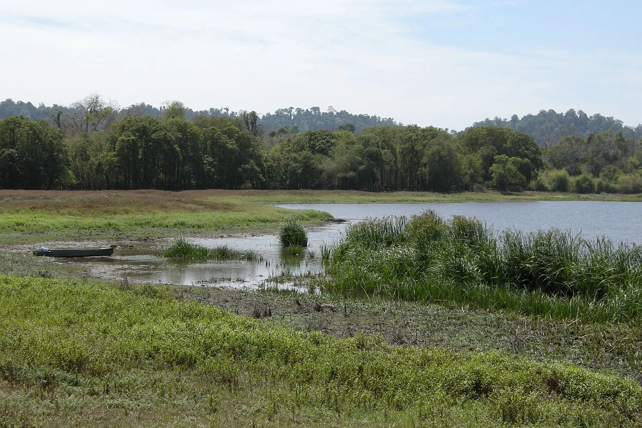
Foto de región o transporte, no una parada prometida. ©
Spend the first day reaching a guesthouse by the park and the second walking in the forest. The motorcycle gets you to the gateway; it is not a permit to ride park trails.
A hundred and fifty kilometres and another country
Cát Tiên National Park lies about 150 kilometres north of Ho Chi Minh City and protects roughly 720 square kilometres of what is left of the lowland tropical forest of southern Vietnam. The administrative map around it has been redrawn twice in two years. On 30 April 2026 Resolution 30/2026/QH16 turned the whole of the former Đồng Nai province into Đồng Nai City, one of the nine centrally-run cities of the country and the largest of them by area; and on 16 July 2026 the government issued Decision 118/NQ-CP handing the entire park — including the part that lies inside Lâm Đồng — to the Đồng Nai city authority, so that one office manages it rather than two. None of this changes the ride. You leave Saigon on Highway 1, turn north onto Highway 20 at Dầu Giây, and for the next hundred kilometres the land climbs so gradually that you only notice it in the temperature. Then the road that turns off towards Tà Lài leaves the lorries behind, and by the time you reach the river the traffic has become bicycles and cattle.
Three forests that became one park
The park was assembled out of pieces. The Nam Cát Tiên forbidden forest was declared on 7 July 1978 by decision 360/TTg; the Tây Cát Tiên nature reserve followed on 9 August 1986 under decision 194/CT; and the Cát Lộc sector in the north was gazetted separately in 1992 as a rhinoceros reserve. Decision 08/CT of 13 January 1992 linked the first two into a national park, and in 1998 all three sectors were joined. What they protect is not untouched. Parts of the area were sprayed with defoliants during the war, and rather more damage was done by logging that continued into the 1990s; bamboo now covers about forty per cent of the park and in the worst-hit areas the trees have still not come back. About half is evergreen forest and a tenth is grassland and old farmland. The park was put forward as a natural World Heritage site under criterion X, for biodiversity, and was rejected at the thirty-seventh session of the World Heritage Committee in Cambodia in 2013, the advisory bodies having graded the file N — not recommended for inscription.
The rhinoceros that is not there
Cát Lộc was protected because in 1992 a population of Javan rhinoceros was found living there — one of only two left in the world, and the discovery that put this forest in front of an international audience. By 2006 fewer than twelve animals were thought to remain. In 2010 a poacher shot the last of them, and on 25 October 2011 WWF and the International Rhino Foundation announced that the Javan rhinoceros was extinct in Vietnam. The reason was a horn that sold for something on the order of twenty thousand dollars, in a district where that is an unimaginable sum. What survives is still remarkable: about forty species on the IUCN Red List, roughly thirty per cent of all the species recorded in Vietnam, some three hundred birds — close to half the national list — more than four hundred and fifty butterflies and sixty-two orchids. Since 2008 the Đảo Tiên centre, 57 hectares on an island in the Đồng Nai river, has rescued and released four endangered primates — golden-cheeked gibbon, black-shanked douc, pygmy loris and silvered langur — a joint project of the forest protection service with the Endangered Asian Species Trust and Monkey World in Britain and the Pingtung rescue centre in Taiwan.
A lake that fills and empties
The centre of the park is wet. In the rainy season the Đồng Nai pushes water back up the Đa Kluo, a stream that reverses its flow the way the Tonlé Sap does, and floods some 2,500 hectares of northern Nam Cát Tiên, refilling Bàu Sấu, Bàu Chim, Bàu Cá and the grasslands between them. Bàu Sấu itself — the name means crocodile pool — is only five to seven hectares of open water, but it gives its name to the whole wetland system: 13,759 hectares, of which 151 are flooded all year and 5,360 seasonally, the rest lying below about 115 metres. On 4 August 2005 the Ramsar secretariat listed it as the 1,499th wetland of international importance in the world and the second in Vietnam. From about 2000 Siamese crocodiles were released back into it; a count in 2013 found 92, and by 2019 the figure was approaching three hundred. The water swells to more than 3,500 hectares in the rains and shrinks to 100–150 in the dry months, which is why the dry season is when you see anything: everything alive comes to what is left.
Tà Lài, and what lies under the fields
The land was Mạ country in what is now Cát Lộc and S'tiêng country to the west, and when the park was drawn many of those families were resettled at Tà Lài, south-west of Nam Cát Tiên. The name is a transcription of the Mạ name for the village of R'lài; French colonial papers spelled it Ta-lai. Tà Lài took its present shape on 16 June 2025, when Resolution 1662/NQ-UBTVQH15 merged it with Phú Lập and Phú Thịnh into one commune of 83.3 square kilometres with 34,158 people counted at the end of 2024, most of them from minority peoples and mainly Mạ and S'tiêng. Forty kilometres upstream, on the far bank between the two park sectors, is something else again: the Cát Tiên sanctuary, found by accident in 1985 and dug over nine seasons from 1994 on. Temples, tomb-towers, brick kilns and a 5.76-metre sacred water channel belong to a Shaiva town of roughly the fourth to the eighth century whose builders nobody has convincingly identified; its stone linga-yoni, 2.26 metres long, is the largest known in South-East Asia. It has been a national monument since 1997, and the finds are in the Lâm Đồng museum in Đà Lạt.
Este viaje lo guiamos nosotros mismos.
El guía es de nuestro equipo, la ruta la hemos recorrido nosotros y tienes un solo chat con nosotros durante todo el viaje.
- Guías de nuestro equipo
- Rutas que hemos recorrido nosotros mismos
- Nuestro taller en 5 ciudades y talleres asociados
- Un solo chat con nosotros durante todo el viaje
- 16
- ciudades
- 24
- tours
- 71
- rutas
- 6
- talleres