사파: 계곡에서 보내는 하루
Sa Pa · Muong Hoa · Lao Chai · Ta Van
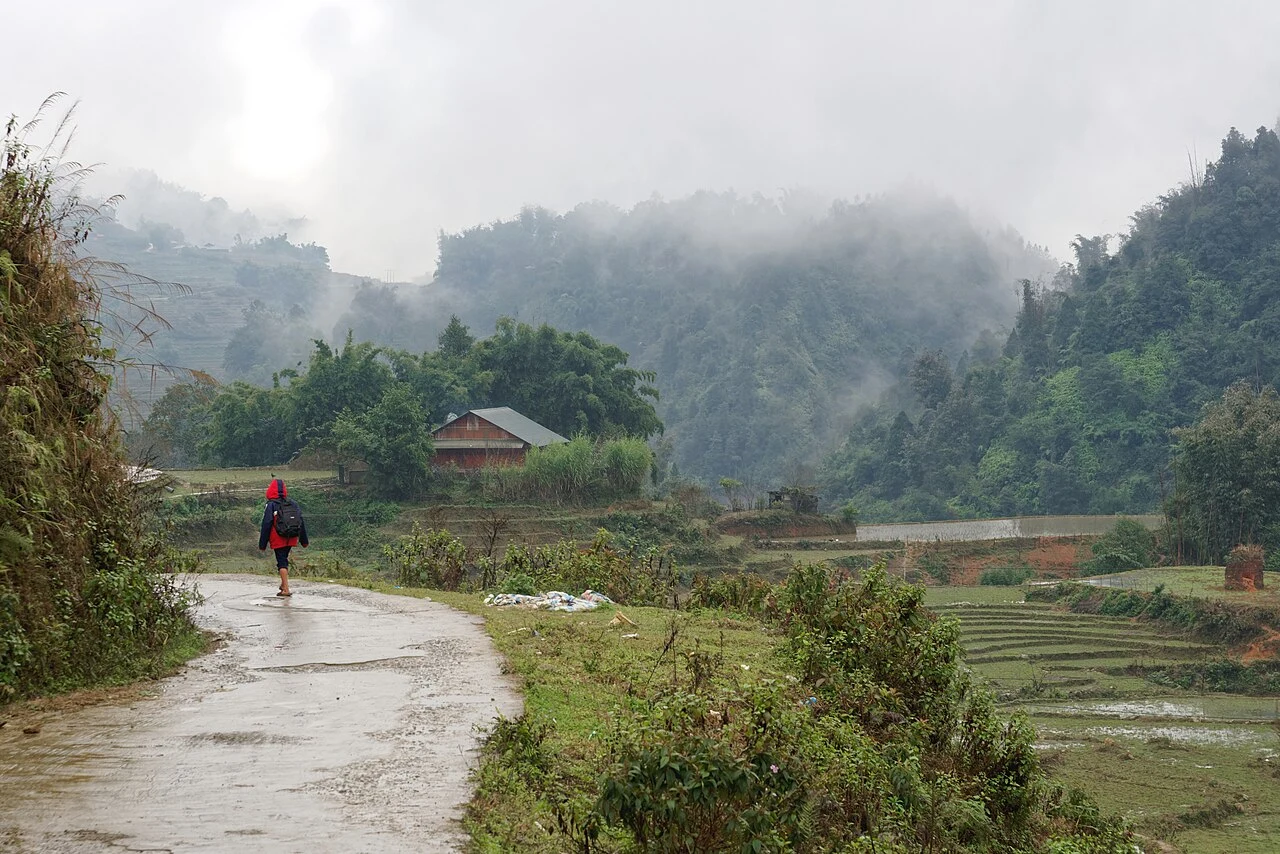
지역 또는 교통 참고 사진이며 약속된 방문지는 아닙니다. ©
Leave the busy centre for a valley day with walking time between rides. Terraces are a working landscape and change through the year; the villages matter as much as the viewpoint.
A town built for the cool air
Sa Pa sits at about 1,500–1,600 metres on the eastern flank of the Hoàng Liên Sơn range, the highest mountains in Vietnam, and it exists because of the climate. Summers here are mild while the Red River delta bakes, and winters bring frost, fog and, in some years, snow — rare enough in Vietnam that people drive up from Hanoi to see it. A French survey party found the valley in 1903 and building began in 1909: a sanatorium and the Chapa hotel, a garrison in 1912, villas from 1918, and by the time the Hanoi–Lào Cai railway was finished in 1920 a hill station of close to three hundred villas; the stone church followed in 1934. Almost none of it survived. The scorched-earth fighting of 1947, in the war against the French, and the Chinese border war of 1979 destroyed most of the colonial town; the church in the centre is the most complete thing left. What you see today — hotels, cable car, the market by the bus station — grew almost entirely after 1993, when the town reopened to foreign visitors. In January 2020 Sa Pa became a town in its own right, and since mid-2025 it belongs to the enlarged Lào Cai province.
Whose valley it is
The Kinh, the Vietnamese majority, are a minority here — around fifteen percent of the town’s people. Just over half are Hmong, a quarter Dao, and the rest Tày, Giáy and the small Xá Phó group. Each has its own villages in the Mường Hoa valley below the town, and the day ride is really a ride from one to the next: Cát Cát and Lao Chải are Hmong, Tả Van is Giáy, Bản Hồ further down is Tày. The terraces that make the valley famous are not scenery but the reason the villages exist — a single crop of rice a year at this altitude, planted in May and June when the paddies are mirrors, green through the summer and cut in September and October. Between the terraces the Hmong grow hemp and indigo for the dark, glossy cloth the women wear, and the Dao keep their red headscarves and the medicinal herb baths that a few homestays now offer to visitors. The women who walk beside you selling embroidery are from these villages, and the route we describe goes through their fields.
The carved stones of Mường Hoa
Scattered along the valley floor between Hầu Thào and Tả Van are about two hundred boulders covered in carvings: spirals, ladders, stick figures, what look like plans of terraced fields and houses. The Russian-born French archaeologist Victor Goloubew of the École française d’Extrême-Orient recorded them in 1925, and nobody has settled who cut them or when — the guesses run from a few centuries to more than a thousand years, and the local Hmong and Giáy have their own stories. The field was listed as a national monument in 1994 and the biggest stones are fenced and signposted beside the Tả Van road, a few minutes from the bike. They are worth the stop precisely because they are unexplained: the one thing in the valley older than the terraces, and nobody knows what it says.
Fansipan, from the top down
Above everything stands Fansipan, 3,147 metres, the highest point in Vietnam and in the three countries of former Indochina. It is inside Hoàng Liên National Park, created in 2002 with a core of nearly 30,000 hectares of montane forest and listed as an ASEAN Heritage Park; the park holds a large share of the country’s plant species, including rhododendrons that flower on the upper slopes in spring. Until 2016 the summit was a two- or three-day trek with porters. Then a cable car opened from the edge of town, at the time the longest three-rope cable car in the world at more than six kilometres, rising 1,410 metres in about twenty minutes. It changed Sa Pa more than anything since the French: the summit went from a few thousand visitors a year to a few thousand a day. We list it as an option, not a stop. On a clear morning the ride up shows you the whole valley you are about to cross; on a clouded one — most of them — the terraces from the road are the better view, and cheaper.
Why a valley day from town
The obvious rides out of Sa Pa are the passes: Ô Quy Hồ to the west, at nearly 2,000 metres one of the great passes of the north, and the long road down to Lai Châu. They are magnificent and they take a whole day of concentration. The valley is the opposite: thirty to fifty kilometres, none of it fast, most of it in the second and third gear, with time built in to leave the bike and walk. The road from town drops onto the DT152 above Lao Chải, runs along the valley floor to Tả Van, and, if you want it, continues past the Giàng Tà Chải waterfall to Bản Hồ before you turn round; the return is the same road climbing back into the cloud. We ride it clockwise out of town so the descent is in the morning light and the climb back is done before the afternoon mist. Two things are not on the itinerary: the footpaths between the terraces, which are paths, not shortcuts, and are ruined for the farmers when a bike goes down them; and the village fees, which are real and are how the villages get something back from the road.
이 여정은 저희가 직접 이끕니다.
가이드는 저희 팀원이고, 경로는 저희가 직접 달려본 길이며, 여행 내내 저희와 하나의 채팅으로 연결됩니다.
- 저희 팀의 가이드
- 저희가 직접 달려본 경로
- 5개 도시의 저희 정비소와 파트너 정비소
- 여행 내내 저희와 하나의 채팅
- 16
- 개 도시
- 24
- 개 투어
- 71
- 개 노선
- 6
- 개 정비소