Pleiku – Kon Tum : à travers le plateau
Pleiku · Bien Ho · Kon Tum · Dak Bla river
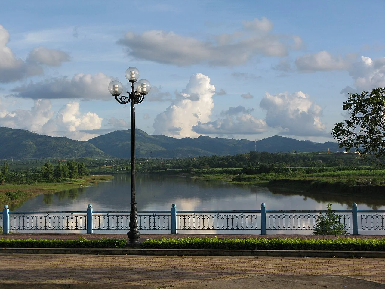
Photo de région ou transport, pas un arrêt garanti. ©
Keep this short link deliberately slow. A lake stop and an afternoon in Kon Tum give the Central Highlands more attention than a roadside lunch on a cross-country dash.
Fifty kilometres and two provinces
On the map this is nothing: Highway 14 runs north out of Pleiku and is in Kon Tum in an hour. What makes it worth a day is that the two towns are no longer in the same country, administratively speaking. In June 2025 the National Assembly rewrote the map of Vietnam, and these two ended up on opposite sides of a new line. Pleiku became a ward of a Gia Lai that now reaches the sea, having absorbed Bình Định. Kon Tum became a ward of Quảng Ngãi — the whole old province of Kon Tum was folded into the coastal one on 1 July 2025, giving Quảng Ngãi 14,832.55 km² and 2,161,755 people and making it the fifth largest province in the country. Nothing on the ground changed. The road signs, the bus tickets and everyone's speech still say Pleiku and Kon Tum, and the plateau does not care. But it means that a ride which used to be a provincial hop is now a crossing between two provinces, and the paperwork you carry should be in order.
The volcano with three mouths
Twenty kilometres off the highway north-east of the lake stands Chư Đang Ya, which is not one volcano but three small ones side by side in the village lands of Ploi Iagri. They belong to the Central Highlands volcanic complex, the same long story of eruption that laid down the red basalt everyone farms here. The highest of the three craters stands at 975 metres; the cones took roughly ten thousand years to build and the last eruption was about ten thousand years ago. What is left is a horseshoe of steep ground, terraced and planted, with lava bombs still in the soil. Two or three months of the year it turns yellow. Dã quỳ — Tithonia diversifolia, the Mexican sunflower — was brought to Vietnam by the French as green manure for the coffee and rubber plantations of Lâm Đồng; it seeds easily, roots from cuttings and has taken over every roadside and abandoned slope in the highlands. It was called sơn quỳ until the 1970s. Gia Lai now holds a flower festival at the foot of this mountain.
The village of the lake
Kon Tum is Bahnar and it means what it says: kon is village, tum is a lake or a pond. The story goes that a prosperous village on the Đăk Bla called Kon Trang-Or fell into quarrelling over property and slaves, and that two sons of one of its headmen, Jơ Rông and Uông, took their people away and built new houses by a pond beside the river. Others came, the settlement grew, and it was called the village of the lake. The river it stands on, the Đăk Bla or Krông B'Lah, runs 157 kilometres with a catchment of 3,436 square kilometres and is the main tributary that makes the Sê San. You cross it coming in from the south on the Đăk Bla bridge. The first solid iron bridge here went up in the late 1950s; the present one was rebuilt between 2 November 1991 and 2 September 1992, 174.45 metres and two lanes, with gong motifs worked along the railings, and a second, wider concrete bridge of 214 metres was built alongside it from 2009.
Wood, straw and the oldest diocese in the highlands
Catholic missions reached this valley by a hard road. In the mid-nineteenth century a 120-kilometre track carried salt, ceramics and gongs up from Quảng Ngãi through Ba Tơ and the Violắc pass, and the priests came that way. Repeated attempts from 1842 failed; in 1848, with the Tự Đức edicts against Catholics in force, a young Vietnamese missionary named Nguyễn Do found this wide fertile valley on the Đăk Bla, and two years later French priests, Vietnamese catechists and refugees — most of them from Bình Định and Quảng Ngãi — settled here. Kon Tum became the oldest diocese in the Central Highlands, created on 14 January 1932 and covering 25,225 square kilometres, with 396,040 Catholics at the end of 2023. Its cathedral is the reason people ride here. Father Giuse Decrouille began it in 1913 and it was finished in 1918: Romanesque in plan, raised like a Bahnar stilt house, built of cà chít hardwood by carpenters from Bình Định and Quảng Ngãi, with walls of earth mixed with straw carrying coloured glass. Behind it the bishop's house went up between 1935 and 1938.
How the ride works
Take the whole day and plan to sleep in Kon Tum. About eighty kilometres with the detours, of which sixty are good asphalt on Highway 14 and the rest are plantation lanes. Leave Pleiku after the two-bowl phở, be on the volcano by mid-morning, and eat lunch wherever you find it on the highway rather than counting on a town. From the south the road drops to the river and the bridge is the arrival: cross it, turn east along the water, and everything else in this guide is within three kilometres. Keep the late afternoon for the Kon Klor bridge, which is orange, 292 metres long and 4.5 metres wide, and hangs over the Đăk Bla between the town and the villages on the far bank. Two practical notes. Highway 14 is the Hồ Chí Minh road and carries long-distance lorries the whole way. And the plantation detour to Chư Đang Ya is concrete and dirt, which is fine when dry and genuinely slippery when not.
C’est nous qui menons ce voyage.
Le guide fait partie de notre équipe, nous avons parcouru l’itinéraire nous-mêmes, et vous avez une seule conversation avec nous pour tout le voyage.
- Des guides de notre équipe
- Des itinéraires que nous avons parcourus nous-mêmes
- Notre atelier dans 5 villes et des ateliers partenaires
- Une seule conversation avec nous pour tout le voyage
- 16
- villes
- 24
- circuits
- 71
- itinéraires
- 6
- ateliers