Phong Nha – Khe Sanh : à travers la forêt
Phong Nha · western Ho Chi Minh Road · Khe Sanh
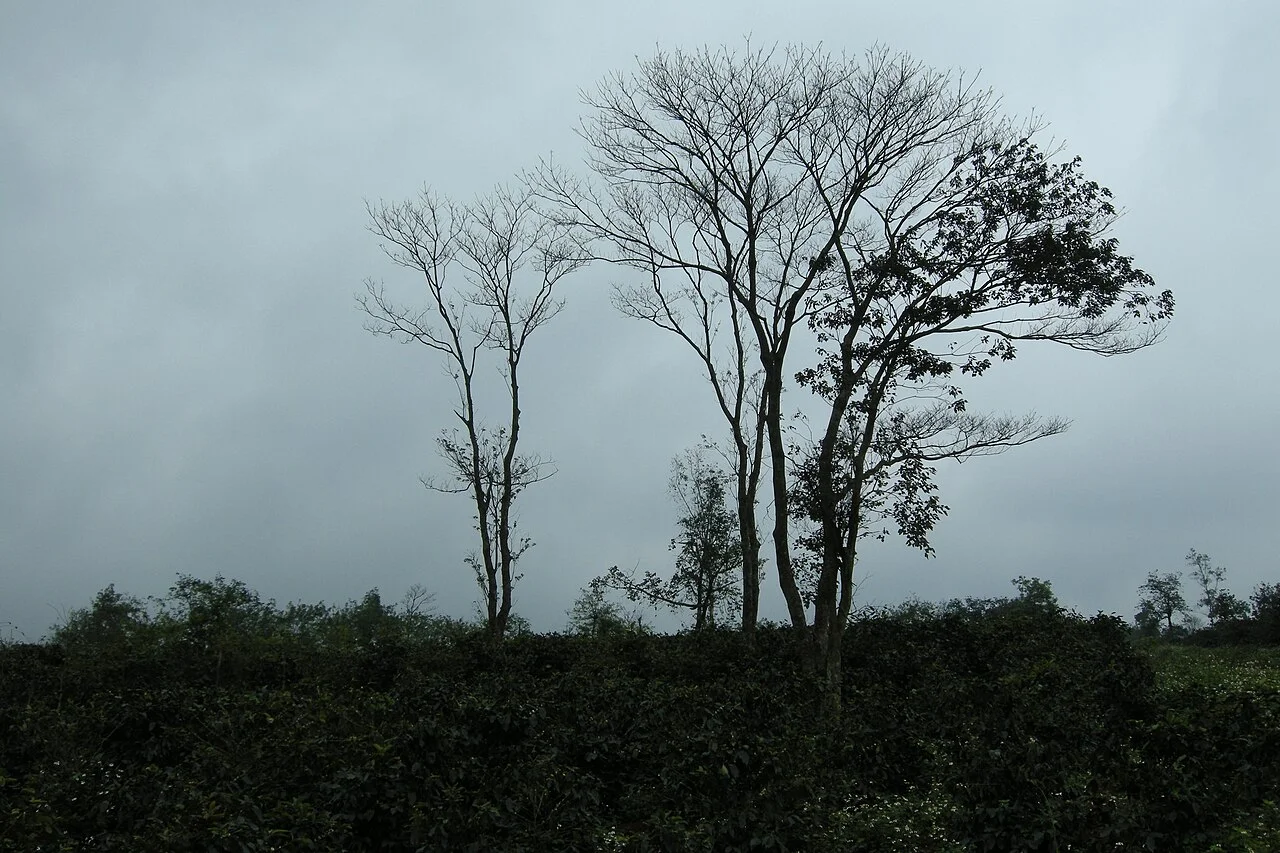
Photo de région ou transport, pas un arrêt garanti. ©
This is a demanding full riding day through long forested stretches. Start fuelled and rested, carry food and leave the historical visits around Khe Sanh for the following morning.
One road, and now one province
The Ho Chi Minh Road is not one road. Resolution 38/2004/QH11 gave it 3,167 kilometres in twenty-one provinces: a main line of 2,667 kilometres and a western branch of 500. The western branch is the one you ride today, and its own list of waypoints reads like the route card for this day — Khe Ve, the Đá Đẽo pass, Khe Gát, Bùng, the U Bò pass, Tăng Ký, cầu Khỉ, Sen Bụt, Khe Sanh, Đakrông. Until 2025 this ride crossed a provincial border halfway along. It does not any more: Quảng Bình and Quảng Trị were merged, and the province that came out of it now carries the longest stretch of the Ho Chi Minh Road in Vietnam, 320 kilometres of eastern and western branch together. So one province, one road, and one of the emptiest surfaced days you can have in this country.
Road 20 and the cave
Thirty-odd kilometres out of Phong Nha the western branch crosses another road. It is provincial road 562 now; in the war it was Đường 20 – Quyết Thắng, 125 kilometres from Phong Nha through Aky and Ta Lê to Phulanhich in Khammuane on the Lao side, and it was bombed as hard as any road in Vietnam because of what moved along it. Three kilometres south-west of the crossroads is a cave. On 14 November 1972, during a raid, eight volunteers of the 25th youth brigade took shelter in it and a rock slab sealed the entrance. Rescuers fed thin rice gruel through a hose into a crack and heard a man's voice answer; after nine days there was nothing to hear. The slab was finally blown open on 22 March 1996 and the first remains found that May. In 2017 DNA identified three of the people in the cave, one of the eight volunteers and two artillerymen — which is the part of the story that is still being written. There is a memorial house at the cave mouth.
What the forest is
For the first hundred kilometres the road runs along the edge of Phong Nha – Kẻ Bàng, which is limestone 400 million years old, the oldest karst in Asia, and about 300 caves of which surveyors have walked some twenty kilometres. UNESCO listed it in 2003 for its geology and again on 3 July 2015 for its biology; the core is 85,754 hectares with a buffer zone around it, and the Lao reserve of Hin Namno continues the same limestone across the border. You will not see a cave from the saddle. What you get instead is the wall of it: karst towers going up out of closed forest on both sides of a two-lane road, for hours, with the villages of the buffer zone — twelve communes, mostly farming and forest work — strung thinly along the valleys. The people of these mountains are Bru – Vân Kiều and Pa Cô, 94,598 of them at the 2019 census and nearly three-quarters of them in this province. Many carry the surname Hồ, taken after 1945 in the president's honour.
The valley at four hundred metres
Khe Sanh is a red-earth valley 400 metres above the sea, and the reason the whole world knows its name is what stood in it. In 1965–66 Khe Sanh was built into the largest strongpoint on the Route 9 defence line and one of three nodes — with Làng Vây and Tà Cơn — of the McNamara electronic fence. The campaign of 1968 ran in four phases from 20 January to 15 July, and Vietnamese accounts read it as a feint that pulled attention away from the Tết offensive. The airstrip at Tà Cơn was the air bridge into the whole position; it has been a national monument since 12 December 1986 and has a museum, helicopters and armour on the old runway. The other thing Khe Sanh does is coffee. French plantations went in here more than a century ago — 2026 is the hundredth year — and the district now has about 5,000 hectares of arabica catimor worked by more than 8,000 households, most of them Pa Cô and Vân Kiều, for roughly 50,000 tonnes of cherries a year.
How the day works
Two hundred and forty-odd kilometres, one full day, and the second morning for the museums. Leave Phong Nha early and fuelled: the middle of this route has almost nothing, and the two passes — U Bò in the north, the 19.8 kilometres of Sa Mù before the finish — are the slowest parts of it. Sa Mù stands where the weather of the eastern and western Trường Sơn meet, which is why it is cold at the top and often under a sea of cloud, and why the Chênh Vênh falls at its foot have water. This is border country: at bản Chênh Vênh there is an A Roong control post two and a half kilometres from the falls, and visitors are expected to report there. Khe Sanh itself averages 22 degrees and 2,262 millimetres of rain a year, so bring a layer for the end of the day. And the names on the signs are new: on 16 June 2025 the communes of Khe Sanh and Hướng Phùng were each assembled out of four and three older ones, and on 1 July Phong Nha absorbed three neighbours.
C’est nous qui menons ce voyage.
Le guide fait partie de notre équipe, nous avons parcouru l’itinéraire nous-mêmes, et vous avez une seule conversation avec nous pour tout le voyage.
- Des guides de notre équipe
- Des itinéraires que nous avons parcourus nous-mêmes
- Notre atelier dans 5 villes et des ateliers partenaires
- Une seule conversation avec nous pour tout le voyage
- 16
- villes
- 24
- circuits
- 71
- itinéraires
- 6
- ateliers