목쩌우: 차밭 언덕과 마을 길
Moc Chau · tea hills · Ban Ang · rural outskirts
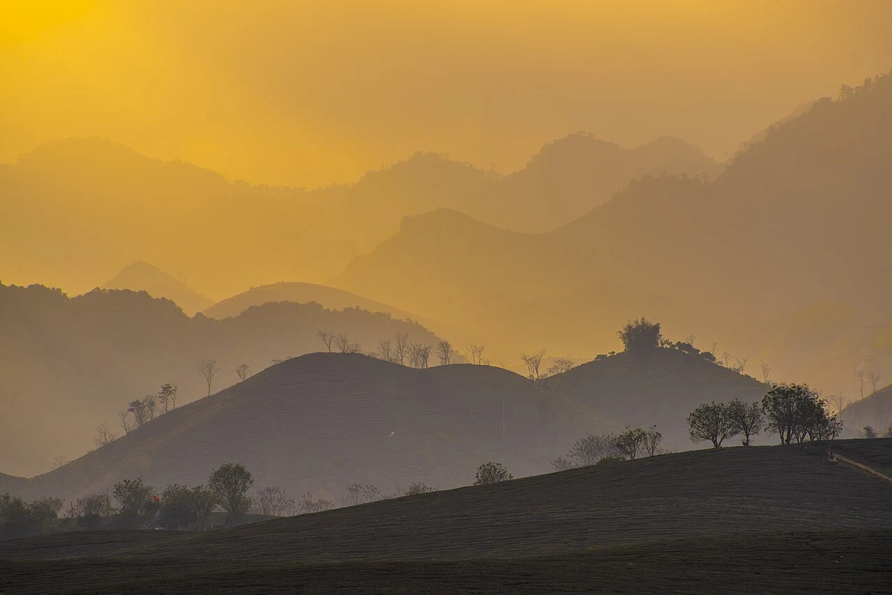
지역 또는 교통 참고 사진이며 약속된 방문지는 아닙니다. ©
Build a two-day stay around short loops rather than a long through-ride. Morning light suits the tea country; keep an afternoon free for a village walk and local produce.
A plateau at a thousand metres
Mộc Châu is a plateau, not a valley, and that single fact explains everything else about it. It averages 1,050 metres above the sea, the climate is sub-temperate rather than tropical, and the soil is deep and fertile — which is why the things that grow here are tea, plums, peaches and grass for dairy cattle rather than the rice and bananas of the country you rode through to get here. It is about two hundred kilometres from Hanoi along National Highway 6, which makes it the first genuinely cool place on the road west and the reason so many people stop. The Thái and the Mông are the two largest minorities on it; across Sơn La as a whole the Thái were 636,727 people in 2015, more than half the province, with the Mông another 184,618. One date belongs to the Mông alone: every year on the first of September they come in to Mộc Châu from all over the north-west and turn the town into a festival for the day.
The bat cave with a spring in it
The limestone ridge on the north side of Highway 6, right in the middle of town, has a hole in it a hundred metres up. Hang Dơi — also called Động Sơn Mộc Hương, and thẳm Kia in Thái — is a textbook karst cave: about 6,915 square metres of floor, eighty metres long, twenty-five wide and twenty high, divided into three chambers by walls of flowstone. You get to it up 240 steps from a point a hundred and sixty-five metres off the road. The Thái have a second name for it, hang Sa Lai, the water cave, because a spring runs inside the mountain all year and never dries. Local people had known it for generations and sheltered in it during the war against the French, but archaeology only reached it in 1952. In September 1992 the Sơn La provincial museum and the Institute of Archaeology dug a single square metre near the mouth and found half a metre of cultural layer — flakes, a polished-edge adze, stone balls, potsherds — putting people in this cave three thousand to three and a half thousand years ago. It became a national scenic monument on 24 January 1998.
The sash that pulled a man out of the flood
Five kilometres west of town on the road to the Lóng Sập border gate, two streams do something worth riding out for. The Vặt rises from two springs, Bó Co Lắm and Bó Tá Cháu, at the head of bản Vặt, an old Thái village, runs five kilometres and meets the Bó Sập, a larger stream that starts near the Lao border. At the confluence the water hits a wall of limestone and falls: an upper fall seventy metres wide, then a hundred and fifty to two hundred metres of flat ground, then the lower fall, the two together a hundred metres high, broken into nine steps on one side and five on the other. In the dry season the lower fall thins to a single thread dropping fifty metres onto the rock. Its name, Dải Yếm, means the sash of a bodice, and the story goes that a girl's sash was what pulled a young man out of a flood; the Thái of bản Vặt also call it thác Nàng, the girl's fall, and thác Bản Vặt, after themselves.
Grass, cows and tea
The plateau's other crop is milk, and at a scale that surprises people. The Mộc Châu dairy breeding company works with more than six hundred households running over twenty thousand dairy cows between them, and the herd produces more than two hundred tonnes of milk a day — black and white cattle on green pasture at a thousand metres, which is not a Vietnamese landscape anyone expects. The tea sits alongside it on the same ground: the plantations of Thảo Nguyên are five to seven kilometres out of the centre, and both the tea company and the milk company are there. Further along, on the road in towards Tân Lập, is the Nà Ka valley, thousands of hectares of plum laid out in rows. The result is a place with four separate flowering seasons: white mustard across the hills from November to January, plum and peach blossom from January to March, ban flower turning the woods white in April, and the plums themselves ripe in May. There is no wrong month, only different ones.
How the two days work
Two easy days from one base, and almost no long transfer. Day one runs west on Highway 43 towards the Lóng Sập border gate — the waterfall first thing while the light is still coming down the valley, then the pine wood at bản Áng, then back into town for the cave, which is a five-minute walk and 240 steps off the main street. Day two goes the other way, north-east along Highway 6 and out into the farm country: the state farm town, the tea hills above it, the plum valley on the Tân Lập road, and a loop home. The riding is genuinely easy by northern standards — this is a plateau, so the gradients are gentle and the surfaces are good — which makes it a sensible place to spend a rest day in the middle of a longer trip. One administrative note, because it runs the other way from the rest of the north: on 12 June 2025 Sơn La was one of the provinces kept exactly as it was. What did change is below that. Mộc Châu became a town in its own right on 1 February 2025, and on 1 July 2025, when the district tier was abolished across the country, Mộc Lỵ, Mường Sang and Chiềng Hắc were combined into a single ward called Mộc Châu.
이 여정은 저희가 직접 이끕니다.
가이드는 저희 팀원이고, 경로는 저희가 직접 달려본 길이며, 여행 내내 저희와 하나의 채팅으로 연결됩니다.
- 저희 팀의 가이드
- 저희가 직접 달려본 경로
- 5개 도시의 저희 정비소와 파트너 정비소
- 여행 내내 저희와 하나의 채팅
- 16
- 개 도시
- 24
- 개 투어
- 71
- 개 노선
- 6
- 개 정비소