Ha Long: the bay from shore
Bai Chay · Ha Long waterfront · Quang Ninh Museum · Hon Gai
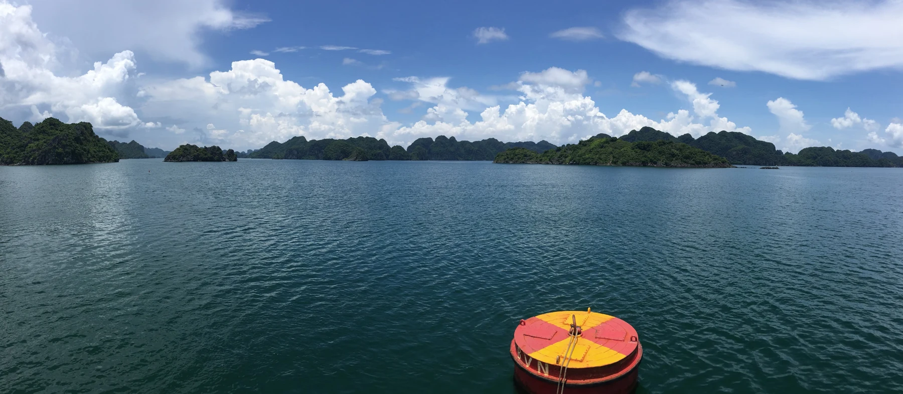
Illustrative regional or transport photo; not a promised stop. ©
Move between the resort waterfront and the working side of the city. A museum stop gives context to the limestone views; finish with a promenade walk rather than another transfer.
A bay named for a dragon, a city named for the bay
Hạ Long means descending dragon, and the name is younger than the place: before the nineteenth century it is not in the old books at all, which call these waters An Bang, Lục Thủy or Vân Đồn. The bay covers about 1,553 square kilometres and holds 1,969 islets, nearly all of them limestone; the crowded heart of it is 334 square kilometres with 775 islets in it. The stone has been five hundred million years in the making, and the karst that gives the islands their shape has taken twenty million years of wet tropical weather to carve. UNESCO listed the core of the bay in 1994 for what it looks like, and again in 2000 for what it is made of and how it got that way — the second listing is the geological one. The inscribed area is 434 square kilometres with 775 islets, the core bounded by sixty-nine points from Đầu Gỗ island in the west to Ba Hầm lake in the south and Cống Tây in the east. The city on the shore took its name from the water in 1993.
Coal made this shore
The reason there is a city here at all is underneath it. The French took the Hạ Long bay area in 1883 and began working the coal seams along its shore; the town of Hồng Gai became the capital of the mining district, and after 1945 it supplied the coal for the whole industry of the socialist North, which is also why it was one of the most heavily bombed places in the country. The proven reserves under the north and north-east of the city still run to more than 530 million tonnes, in the wards of Hà Khánh, Hà Lầm, Hà Trung, Hà Phong and Hà Tu. The mining even changed the coastline: from the end of the nineteenth century spoil stripped from the galleries was tipped along the bay shore until it filled in the water and joined the northern half of Poem Mountain to the mainland. The southern half stayed sea until the twenty-first century, when the city built a road around the foot of the rock and put villas behind it.
The poem on the mountain
The limestone hill in the middle of the old town used to be called Rọi Đèn, the lamp hill, Truyền Đăng Sơn in the literary form, because a light was kept on it. In the spring of 1468, the ninth year of the Quang Thuận reign, the emperor Lê Thánh Tông — grandson of Lê Lợi — brought his fleet on an inspection of the north-eastern coast, stopped his ships at the foot of the hill, drank and composed, and had the poem cut into the rock face. Vietnamese sources know it by its opening as the piece of the Lord of the Southern Grotto, the emperor's own style. In 1729 the lord Trịnh Cương added a second poem beside it, and between them they renamed the mountain: Bài Thơ, the poem. The summit is a spike of rock at 168 metres with sheer walls and limestone teeth below it. At the foot, on the same block of streets, stand the Long Tiên pagoda and the temple of Trần Quốc Nghiễn — together they make the one historic cluster in the middle of the city.
A bridge, and a building made of coal
The western half of town, Bãi Cháy, was an island: a rhombus six kilometres long and two across at the widest, 1,145.85 hectares, with a ferry at its eastern end. The bridge that replaced the ferry was approved in 1998, begun on 1 August 2003 and opened to traffic on 2 December 2006, carrying Highway 18 over the Cửa Lục inlet where it opens into the bay; it is a single-plane cable-stayed bridge on a prestressed concrete box girder, and its main span is a world record for that type. On the Hòn Gai side the other landmark is newer: the Quảng Ninh Museum, opened on 13 October 2013 for the province's fiftieth anniversary, designed by Salvador Pérez Arroyo with the national planning institute and wrapped in fourteen thousand square metres of black semi-tempered glass, an idea taken directly from anthracite. A whale skeleton over twenty metres long hangs in the entrance hall beside a model of a Trà Cổ bat-wing junk. Since the 2025 reorganisation the whole province is one of Vietnam's nine centrally governed cities, with its administrative centre in the ward of Hạ Long.
Why this day is from the shore
A boat into the islands is its own day: its own ticket, its own departure time, and the bike stays on land whatever you decide. This route takes what the shore gives, which is more than people expect — about thirty kilometres in a loop over the bridge and back. Start on the Bãi Cháy side, cross early while the bridge is quiet, do the old town at Hòn Gai on foot with the bike parked, take the coast road east to the museum, and come back west for the beach in the afternoon when the light turns on the islands. The two constraints are the coal lorries on Highway 18 either side of the bridge, and the wind: the deck is high and open, and a crosswind up there is a real thing on a light bike. If you want the water, book the boat for another morning and ride this the day before.
We lead this ride ourselves.
The guide is from our team, the route is one we have ridden, and you have one chat with us for the whole trip.
- Guides from our team
- Routes we have ridden ourselves
- Our workshop in five cities and partner workshops
- One chat with us for the whole trip
- 16
- cities
- 24
- tours
- 71
- routes
- 6
- workshops