Ha Giang: four days on the plateau
Ha Giang · Quan Ba · Dong Van · Meo Vac · Ha Giang
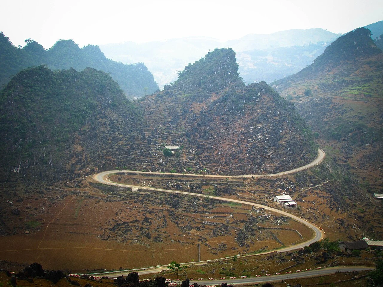
Illustrative regional or transport photo; not a promised stop. ©
Split the circuit into four daylight stages, with the most time around Dong Van and the canyon roads near Meo Vac. Short mileage still means a full day when bends, villages and viewpoints set the pace.
A plateau of stone at the top of the country
North of Hà Giang town the road climbs onto the Đồng Văn karst plateau: roughly 2,300 square kilometres of limestone at 1,200–1,600 metres, pushed up against the Chinese border and cut by gorges up to 800 metres deep. About eighty percent of it is bare grey rock, which is why the fields you see are pockets of soil wedged between boulders and the corn is planted by hand into the cracks. The rock is old — the fossils found here run back 540 million years — and in October 2010 the plateau became Vietnam’s first UNESCO Global Geopark, the second in Southeast Asia. It is also the coldest corner of the country: winter frosts and, some years, snow at Đồng Văn. The four districts the loop passes through — Quản Bạ, Yên Minh, Đồng Văn and Mèo Vạc — are home to seventeen peoples, the Hmong most numerous, then Dao, Tày, Nùng, Giáy and small groups like the Lô Lô and Pu Péo who live nowhere else. Since July 2025 the former Hà Giang province has been merged into Tuyên Quang province; road signs and locals still say Hà Giang, and so do we.
The road called Happiness
The reason you can ride here at all is a road built by hand. Until the late 1950s the plateau was reached on foot and by packhorse. In 1959 the government began the Hạnh Phúc road — ‘Happiness Road’, a name Hồ Chí Minh used in 1961 — to link Hà Giang with Đồng Văn and Mèo Vạc: about 185 kilometres, six years of work by more than 1,300 youth volunteers and over a thousand labourers drawn from sixteen peoples of the region. The hardest stretch was the 21 kilometres between Đồng Văn and Mèo Vạc over Mã Pí Lèng, where the road is cut into a cliff above the Nho Quế gorge; that section alone took nearly two years, with workers roped to the rock face. A memorial to them stands at the top of the pass. Today the road is National Highway 4C, and its alignment is the backbone of every loop itinerary — ours included. The name is not decorative: the villages along it had no wheeled access before it.
The kings of the Hmong
The Hmong have dominated the high plateau since the late eighteenth century, and for the first half of the twentieth it was ruled, in practice, by one family. Vương Chính Đức was recognised as ‘king of the Hmong’ around 1900 and kept his position by dealing with whoever held power below — the Nguyễn court, then the French. His mansion at Sà Phìn, in a valley sixteen kilometres west of Đồng Văn, was built at the turn of the century by craftsmen from the lowlands and southern China: a fortified compound of stone, pine and fired tile with 64 rooms in three courtyards, loopholes in the walls and a 300-cubic-metre stone cistern for rainwater. In 1923 the Nguyễn emperor Khải Định sent a lacquered board praising his ‘exemplary governance of the frontier’; it still hangs in the central hall. His son Vương Chí Sình took the family over to Hồ Chí Minh after 1944. The house was listed as a national monument in 1993 and is the one museum on the loop worth an hour.
Market days
Life on the plateau runs on the market calendar. Đồng Văn’s market, a stone building from the 1920s in the old quarter, fills on Sunday mornings; Mèo Vạc’s is also Sunday, with a cattle market alongside; the smaller towns rotate through the week, and some villages keep a ‘backward’ market that moves one day later each week. People walk in from hours away in the dress of their group — Flower Hmong, Black Dao, Lô Lô — to sell a pig, buy thread and salt, and sit over a bowl of thắng cố. Once a year, on the 27th day of the third lunar month, Khâu Vai near Mèo Vạc holds the ‘love market’, a fair where old sweethearts separated by marriage are traditionally allowed to meet. We schedule the loop so that at least one riding day lands on a market morning; it changes what you see on the road as much as in the town.
Why four days, and why this way round
The whole circuit is only 330–400 kilometres, which sounds like two days. It is not. The road rarely lets you above forty; the passes stack up — Bắc Sum, the Quản Bạ ‘Heaven Gate’ at over 1,500 metres, Thẩm Mã, Mã Pí Lèng — and every one of them has a place you will want to stop. Fog sits in the valleys until mid-morning and the light goes early behind the ridges, so a riding day is really six or seven hours. Four stages give you Quản Bạ, Đồng Văn and Mèo Vạc as overnight stops with time to walk, and a detour to Lũng Cú at the northern tip. We run the loop clockwise — up through Quản Bạ and Yên Minh, along the top past Sà Phìn and Lũng Cú to Đồng Văn, over Mã Pí Lèng to Mèo Vạc — because that puts the gorge on your side of the road at the pass and leaves the long, quieter return through Mậu Duệ and Du Già for the last day. The Lũng Cú flag tower, 30 metres tall on a 1,470-metre peak, marks the symbolic northern point; the actual border is three kilometres further on and off-limits, so do not go looking for it.
We lead this ride ourselves.
The guide is from our team, the route is one we have ridden, and you have one chat with us for the whole trip.
- Guides from our team
- Routes we have ridden ourselves
- Our workshop in five cities and partner workshops
- One chat with us for the whole trip
- 16
- cities
- 24
- tours
- 71
- routes
- 6
- workshops