Da Lat : boucle à travers la campagne
Da Lat · Ta Nung · Nam Ban · Da Lat
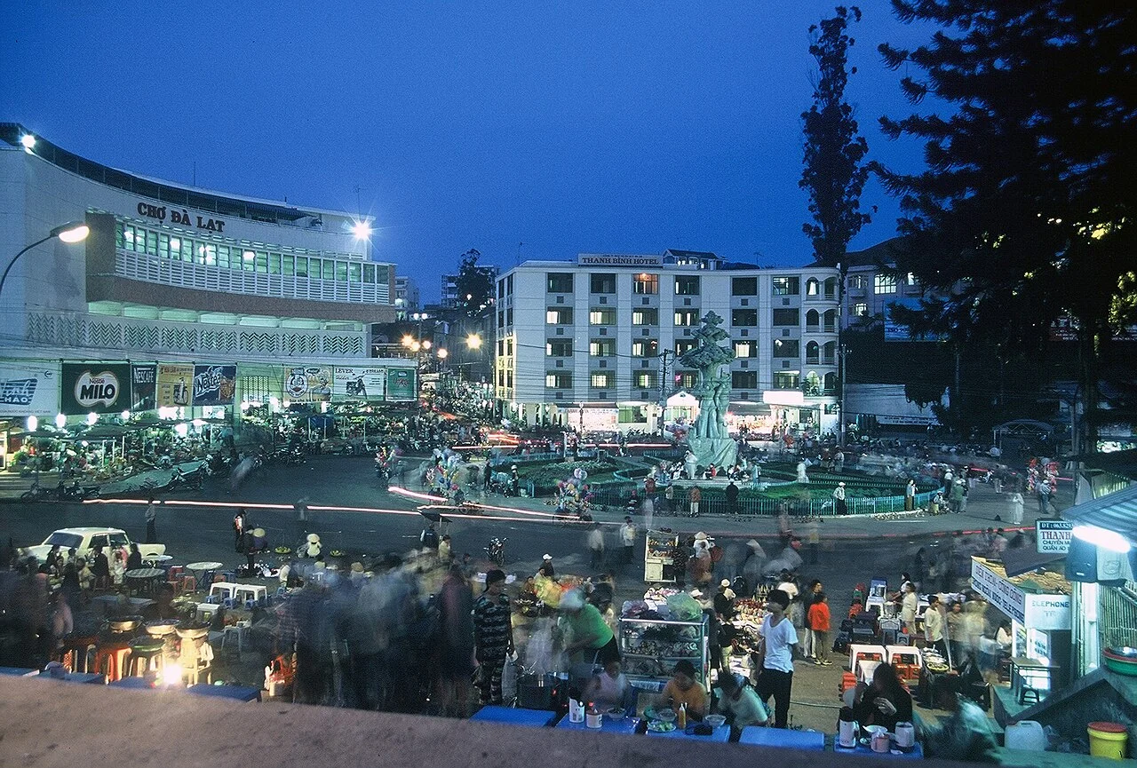
Photo de région ou transport, pas un arrêt garanti. ©
Leave a whole day for coffee country and a village lunch. Select one visitor stop in Nam Ban so the return is still a daylight ride rather than the last task of an overfilled day.
Twelve kilometres and another country
You can leave the greenhouses of Đà Lạt behind in a quarter of an hour. Provincial road 725 goes west out of Cam Ly and drops over the Tà Nung pass, 7.2 kilometres of tight bends with the summit sitting halfway along the twelve kilometres between the city and the village of Tà Nung. What happens on the way down is a change of country rather than of scenery. The plateau behind you sits at about 1,500 metres and grows lettuce and flowers under glass; the shelf you arrive on is 800 to 1,000 metres, red basalt, and grows coffee, tea and mulberry in the open. It is warmer, the light is harder, the houses are further apart, and the people who farm it mostly arrived from somewhere else within living memory.
Hanoi in the hills
From 1976 the government moved cadres and families out of the outer districts of Hanoi to build a new economic zone here, at Nam Ban and Lán Tranh. In 1987 the district that grew out of it was given a name the settlers themselves had coined: Lâm Hà, from Lâm Đồng and Hà Nội, their new home and their old one in one word. The evidence is still on the signposts. The commune of Nam Ban is divided into thirty-six hamlets, and their names are a map of Hanoi — Ba Đình, Đống Đa, Thăng Long, Đông Anh, Gia Lâm, Mê Linh, Từ Liêm, Thanh Trì, Tầm Xá, Chi Lăng, Bạch Đằng. Today it holds 32,722 people on 117 square kilometres, which is fifteen times the density of the mountain commune on the other side of Đà Lạt, and the older Cơ Ho settlements are in among them under their own names, like Buôn Chuối.
The elephants that turned to stone
At the edge of Nam Ban the Cam Ly river falls forty metres wide and more than thirty metres deep into a gorge. Its Cơ Ho name is Liêng Rơwoa, and the story is that a chief's daughter at Jơi Biêng sang for a man who did not come back from a war, sang until she died of it, and that the herd of elephants that had lain down to listen turned to stone where they lay; the boulders below the lip are the elephants, and the water is the mountain god's tears. It became a national scenic monument in 2001, and what has happened to it since is worth saying plainly. A restoration project approved in 2002 and again in 2005 was never carried out; the company that held it fenced the falls and sold tickets, then passed the project on at the end of 2007, and the provincial culture office has been reporting the site's decline ever since. One more name, while you are here: Nam Ban is explained locally as going south to where the ban flower grows, and the tree they mean is still standing in front of the bridge at the falls.
Where the water goes
The loop home follows a second river. The Đa Dâng rises on Langbiang and was dammed twice at Ankroet to make the pair of lakes called Đankia and Suối Vàng, with a fifteen-metre waterfall beside them that governor-general Decoux picked in 1942 as the site of Đà Lạt's first hydroelectric station, three megawatts of it. The lakes drain a catchment of about 13,000 hectares, average six metres deep, and supply 74,000 cubic metres of drinking water a day. That is the official description. What you will actually see is a lake bed you could ride across: the water is largely gone, greenhouses have replaced the old perennial crops around the shore, short-cycle flowers and vegetables are estimated to draw more than 30 million cubic metres a year out of the system, and the bed holds eight million cubic metres of solids that have never been dredged. The plateau makes lakes the same way everywhere — Xuân Hương, Than Thở, Đa Thiện are all rivers that something stopped — but this is the pair the city drinks, and the only one where you can see the arithmetic of a water supply and a greenhouse belt written on the ground in dried mud.
How the loop works
Ninety-five kilometres, a whole day if you use it properly, and one stop chosen rather than all of them. Go clockwise: down the Tà Nung pass in the morning while the surface is dry and the light is behind you, lunch at Nam Ban, the falls after it, then north through the coffee to the lakes and home past Lang Biang in the late afternoon. Fuel in Đà Lạt or Nam Ban, because the northern half of the loop has very little. The whole circuit sits inside the Langbiang biosphere reserve, the ninth in Vietnam and the first in the Central Highlands, recognised by UNESCO on 9 June 2015 and covering 275,439 hectares — a core of 34,943, a buffer of 72,232 and a transition zone of 168,264, which is the zone you are riding through and the reason it looks farmed rather than wild.
C’est nous qui menons ce voyage.
Le guide fait partie de notre équipe, nous avons parcouru l’itinéraire nous-mêmes, et vous avez une seule conversation avec nous pour tout le voyage.
- Des guides de notre équipe
- Des itinéraires que nous avons parcourus nous-mêmes
- Notre atelier dans 5 villes et des ateliers partenaires
- Une seule conversation avec nous pour tout le voyage
- 16
- villes
- 24
- circuits
- 71
- itinéraires
- 6
- ateliers