Chau Doc: temples and rice country
Chau Doc riverfront · Sam Mountain · Tay An · Ba Chua Xu
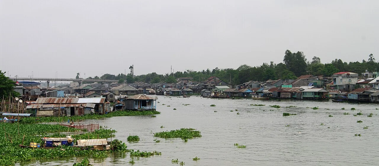
Illustrative regional or transport photo; not a promised stop. ©
Start by the river and ride towards the sacred hill, leaving time to walk between temple courtyards. The open agricultural edges of town give a quieter return.
A town that arrived with a gift of land
Châu Đốc exists because of a transfer of territory. In 1757 the Cambodian king Outey II gave the Tầm Phong Long lands to the Nguyễn lord in thanks for being restored to his throne; Nguyễn Phúc Khoát sent Trương Phúc Du and Nguyễn Cư Trinh to organise them, and three administrative districts were set up — Đông Khẩu at Sa Đéc, Tân Châu on the Tiền and Châu Đốc on the Hậu. The name itself is still argued over: some read it as a Vietnamese rendering of the Khmer Meàth Chruk, others take it from the old name of the island in the fork of the rivers. A fort went up in 1815; in 1831 Minh Mạng had it pulled down and replaced with an eight-sided citadel to the east; and from 1832 the governor-general of An–Hà sat here, ruling An Giang and Hà Tiên — most of today's Mekong delta — from a town on the Cambodian border. The French made it the seat of a district in 1868 and a province in 1900. It is a border town that has been an administrative capital for most of its life, and both halves of that still show.
Four peoples on one bank
From 1818 Gia Long repaired the Châu Đốc fort and deliberately drew settlers to it — Vietnamese, Chinese, Cham and Khmer — and that mixture is still the town's defining fact. The Cham villages sit along the Hậu, most of them on the far bank, and they are Muslim: Châu Giang and Châu Phong are weaving villages, where the sarongs, headscarves and shawls are made that you see in the market. Their oldest building is the Mubarak mosque, said to date from 1750 and rebuilt in 1808. It was raised in timber and leaf, given masonry walls and a tiled roof in 1922, and rebuilt in reinforced concrete in 1965 to a design by an Indian architect, Mohamet Amin: an arched gate, a two-tier oval dome with crescent and star, four small towers at the corners and a tower from which the call is made. It became a national historical and cultural monument in 1989. Three feasts a year matter here — Maulid, Raya Haji and the month of Ramadan — and the Cham new year, Hari Raya, falls on the first day of the tenth Islamic month.
The market that smells of the river
The market in the middle of town is the reason many people come to Châu Đốc at all, and it is not a picturesque one. This is the capital of mắm: fish — snakehead above all, but also catfish and small delta species — salted, layered with roasted rice powder and left to ferment for months until the flesh turns firm and dark. Whole aisles are stacked with it in open tubs, sorted by fish and by preparation, with mắm thái, the shredded version dressed with sugar-palm sugar and green papaya, at the expensive end. It is not a souvenir so much as a staple: the delta has always had more fish than it could eat fresh, and this is what the surplus became. Buy it vacuum-packed if it is going in a pannier, and eat it the way the town does — in a hot pot, with rice, or simply steamed with pork and ginger.
The hill and the woman with the snakes
Núi Sam stands 284 metres above the rice, with a circumference of 5,200 metres — a single hill in a plain that has nothing else in it. Minh Mạng renamed it Vĩnh Tế Sơn to mark the canal Thoại Ngọc Hầu had dug between 1819 and 1824, and a stele of 730 Chinese characters was set up here in 1828 to say so. The shrine of the Lady of the Realm and the Tây An pagoda are on the north side and are visited by more than a million pilgrims a year. Go round to the west slope instead, to Chùa Hang. It began about 1840–1850 as a bamboo hermitage built by Lê Thị Thơ (1818–1899), a seamstress from Chợ Lớn who took vows in 1836 and withdrew to this hill in 1845; people still call her Bà Thợ, the tailor. The story that follows her is of two great pythons in the cave beside her hut that stopped being dangerous and came to lie and listen to the sutras. She died in 1899 aged eighty-one. The pagoda was rebuilt by public subscription, restored again in 1937, and listed as a national monument on 10 July 1980; the two caves inside are shrines now, and the climb is about three hundred metres of steps.
Riding the flat part
Everything else here is rice, and the riding is about surfaces rather than gradients. The roads that matter run along the tops of dykes and canal banks: narrow strips of concrete or asphalt a metre or two above the fields, with no shoulder, no barrier and a drop into water on one side or both. They are perfectly rideable at twenty-five or thirty and unpleasant at fifty. The Vĩnh Tế canal, dug by hand between 1819 and 1824, runs along the Cambodian border a few kilometres west of the hill and makes the best of them. Two seasons decide the day: the rains from about May to November, and the flood that follows them, when the water rises across the whole plain and the fields become one sheet with the roads standing above it. That is the delta at its best to look at and its most careful to ride — the edges soften, the crossings flood and the concrete stays wet under the wheels long after the rain has stopped.
We lead this ride ourselves.
The guide is from our team, the route is one we have ridden, and you have one chat with us for the whole trip.
- Guides from our team
- Routes we have ridden ourselves
- Our workshop in five cities and partner workshops
- One chat with us for the whole trip
- 16
- cities
- 24
- tours
- 71
- routes
- 6
- workshops