Binh Lieu: eastern mountain roads
Binh Lieu · Hoanh Mo · mountain viewpoints · Binh Lieu
Illustrative regional or transport photo; not a promised stop. ©
Stay locally for two nights and choose one mountain outing in clear weather. The value is in slow changes of elevation and village life, not in reaching every border marker.
Ninety-six per cent
Start with the census, because it explains the rest. More than ninety-six per cent of the people in this district belong to an ethnic minority, and the breakdown is Tày 58.4 per cent, Dao 25.6, Sán Chỉ 15.4, Kinh 3.7 and Hoa 0.3. In 2020 that was about thirty-three thousand people spread over 470.76 square kilometres. The district itself was created on 26 December 1919 with seven communes, and it was only fully cleared of the war in December 1950, after the border campaign. What it does not have is monuments: the whole district holds exactly one listed historic site, Đình Lục Nà in Lục Hồn, a communal house from the Later Lê period dedicated to Hoàng Cần, a general remembered for driving back an invasion from the north. Its festival, revived in 2005, opens on the sixteenth of the first lunar month. The other date to know is the sixteenth of the third, when the Sán Chỉ hold what everyone calls the love market. Add the Then singing of the Tày and the Soóng Cọ songs of the Sán Chỉ and you have the whole cultural calendar of a place with no pagodas in it.
Grass, not forest
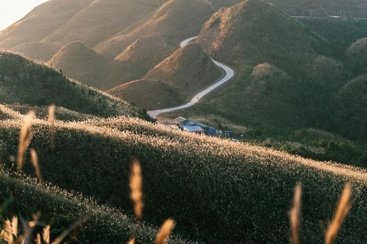
The land accounting tells you what you will be riding through. Of 47,510.5 hectares, only about seven thousand are farmland — fifteen point six per cent — and more than four thousand of those are grass hills used for grazing, with barely 164 hectares of rice and crops, mostly terraces strung along the valleys and the river flats. Forest land is 34,683.78 hectares, seventy-three per cent of the district, but only 2,616.65 of that is natural forest and the article that counts it says plainly that it has been cut out. What grows on the rest is planted: star anise, cinnamon, tung and sở oil trees, with Chinese fir, pine and acacia for timber. The result is the thing people come here to photograph — open grass ridges rather than jungle, running along the tops in a way that is unusual in Vietnam. The ground under them belongs to the Đông Triều–Móng Cái arc, and it gets high: Cao Xiêm reaches 1,472 metres and Cao Ba Lanh 1,113, with Quảng Nam Châu at 1,507 just across the district line.
Forty-three kilometres of it
The northern edge of this district is 43.168 kilometres of international border, and National Highway 18C exists to reach it. The road runs the length of Bình Liêu, about thirty-five kilometres from the town to the centre of Đồng Văn, and its end point is the Hoành Mô crossing in the hamlet of Đồng Mô. From there a ford across the Đồng Mô river connects to the Dongzhong crossing in Fangchenggang, in Guangxi. The Đồng Mô is a small thing — a tributary of the Tiên Yên only seven kilometres long, called the Dong Mo He on the other side — but it is the border itself, and the flats beside it were one of the genuinely difficult points in settling the line between the two countries. Marker 1317 is a double: the same number stands on both banks, one in Vietnam and one in China. The crossing was opened in 1991, and in September 2002 a decision of the prime minister made it the centre of the Hoành Mô–Đồng Văn border economic zone.
Water, and cold
The Tiên Yên river rises on the northern side of Hoành Mô, turns south at the border and runs the length of the district, and its figures are worth reading twice: at Bình Liêu its flow has been recorded as low as 1.45 cubic metres a second and as high as 1,500. That is a thousandfold difference on the same river, and it explains both the terraces and the caution. The set piece is Khe Vằn falls, on the Khe Vằn stream at about three hundred and thirty metres, ten kilometres south-east of the town as the crow flies and fifteen by road, listed as a provincial scenic monument in 2011. It is also a place with a record. On 2 July 2019 a traveller drowned in the pool below it while the people he had come with did not notice, and on the same day a vehicle carrying visitors home from the falls went off the road at Nà Cang and two people died. The cold is the other thing nobody expects: in December and January this district gets frost, and in some years it has seen snow.
How the two days work
Base yourself in the town and ride out twice, rather than trying to make a loop of it. Day one goes north-east on Highway 18C — Lục Hồn, then the border gate at Hoành Mô, then on to Đồng Văn, which is star anise country. Day two comes back across the middle of the district on the inter-commune road to Húc Động, where the canna noodles are made, and out to the falls before returning to town. About eighty-five kilometres in total, but the road is the slow kind and you will stop constantly. Two things worth carrying in your head. This is a border district: keep your documents on you, do not follow unsigned tracks towards the line, and take local advice before going anywhere near a marker. And it is a poor one — average income here in 2020 was 37.53 million đồng a year, under a quarter of the provincial figure — so buy your lunch and your noodles locally rather than bringing everything up from Hạ Long. Since 1 September 2026 the whole of Quảng Ninh has been a city rather than a province, which changes the paperwork and nothing else.
We lead this ride ourselves.
The guide is from our team, the route is one we have ridden, and you have one chat with us for the whole trip.
- Guides from our team
- Routes we have ridden ourselves
- Our workshop in five cities and partner workshops
- One chat with us for the whole trip
- 16
- cities
- 24
- tours
- 71
- routes
- 6
- workshops